


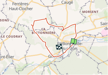

34 km | 41 km-effort


User


FREE GPS app for hiking
 SityTrail
IGN / Geographical institutes
SityTrail World
The world is yours!
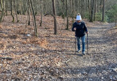
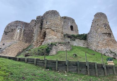
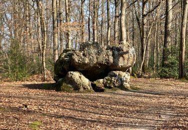
Trail Walking of 13.2 km to be discovered at Normandy, Eure, La Bonneville-sur-Iton. This trail is proposed by jeanlucien.
Mountain bike

Walking
Mountain bike
Walking
Walking
Walking
Walking
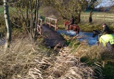
Equestrian
Walking